
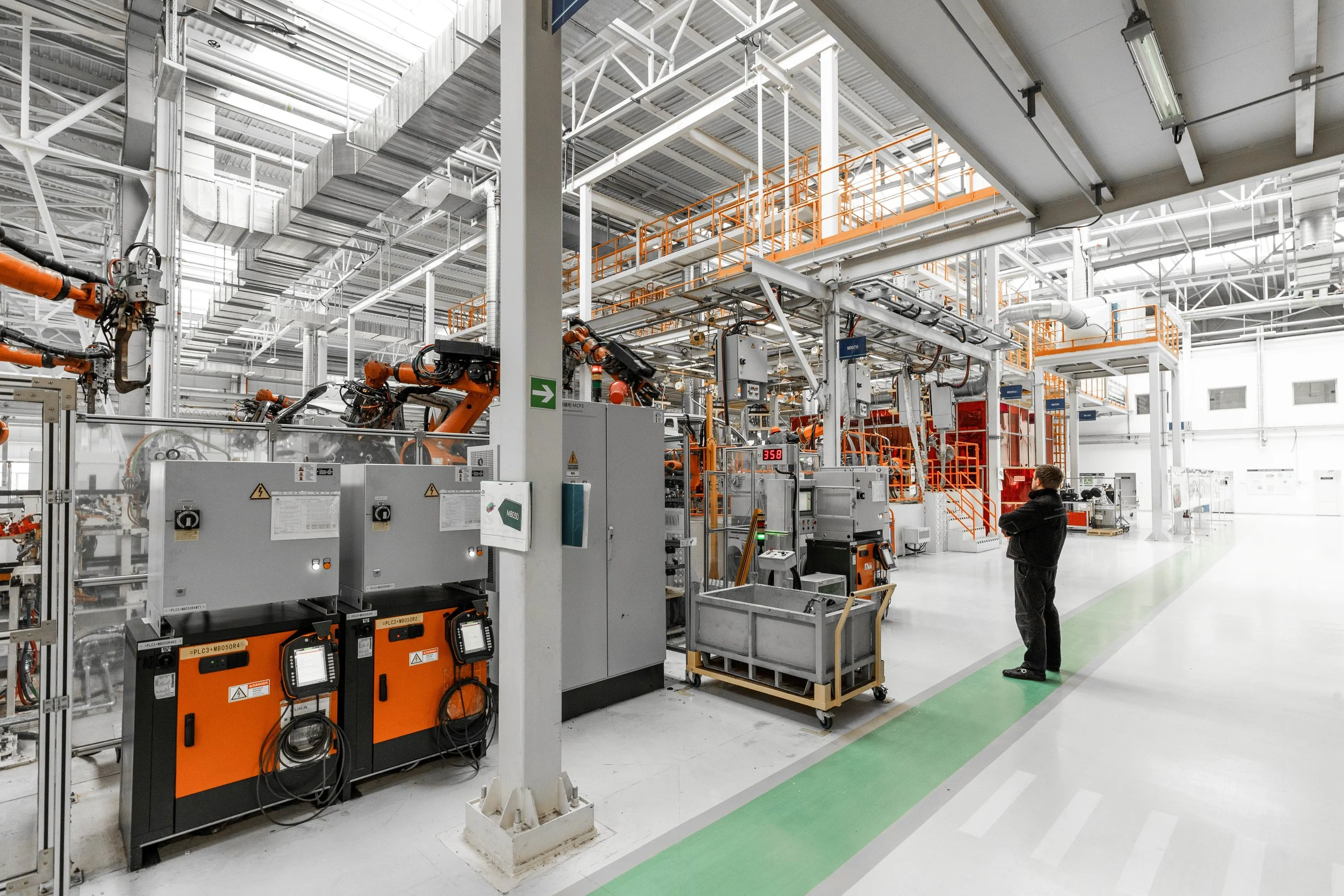
DESIGN, PLANNING & CONSULTANCY DIVISION
Landscape-Led Master Planning & Engineering Excellence
At Windows of Green Africa Limited (WGA), landscape architecture is not an afterthought or decorative addition—it is the primary coordinating discipline that integrates water management, mobility, ecology, public space, and urban economic value into a single, cohesive design.
Our Core Philosophy:
Harmony Integration
Cities, river corridors, and watersheds are designed as unified living systems. In our planning model, water is the organizing element.
Rivers, wetlands, and catchments are not constraints to be engineered around—they form the structural framework around which resilient urban development and investment are organized. We blend hydrology, civil systems, and municipal placemaking into an indivisible capital asset.
30+
Years Combined PMO
1500+
Hectares Masterplanned
100%
AfDB/IFC Compliant
PILLAR // 01

Ecology & Civil Infrastructure
Synthesizing municipal drainage, arterial transport corridors, clean energy networks, and public civic space into a synchronized, single master engineering framework.
PILLAR // 02

River Basin Corridors
Positioning natural riparian floodplains as structural organizing arteries. Runoff is transformed into landscape infrastructure rather than hazard zones.
PILLAR // 03

Place-Based Solutions
Deploying indigenous flora, native geological bioswales, and regional microclimate adaptation tailored precisely for East African climatic realities.
PILLAR // 04

Appreciating Assets
Moving past depreciating single-use concrete pipes to multi-functional sponge parks that actively multiply municipal land value and biodiversity credits.
CAPABILITY // 01
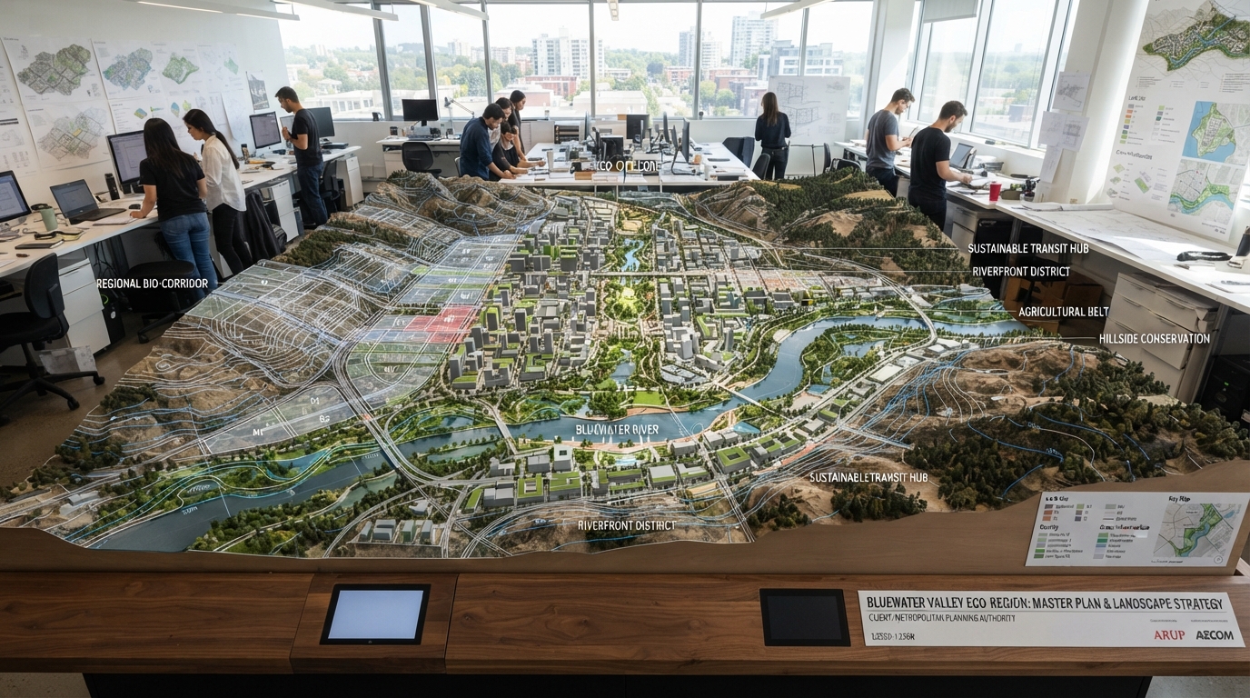
Master Planning & Landscape-Led Urban Design
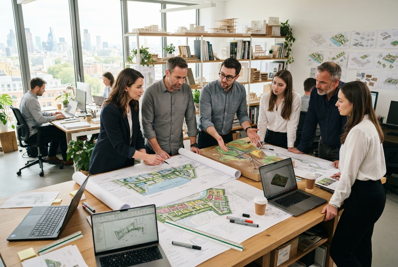
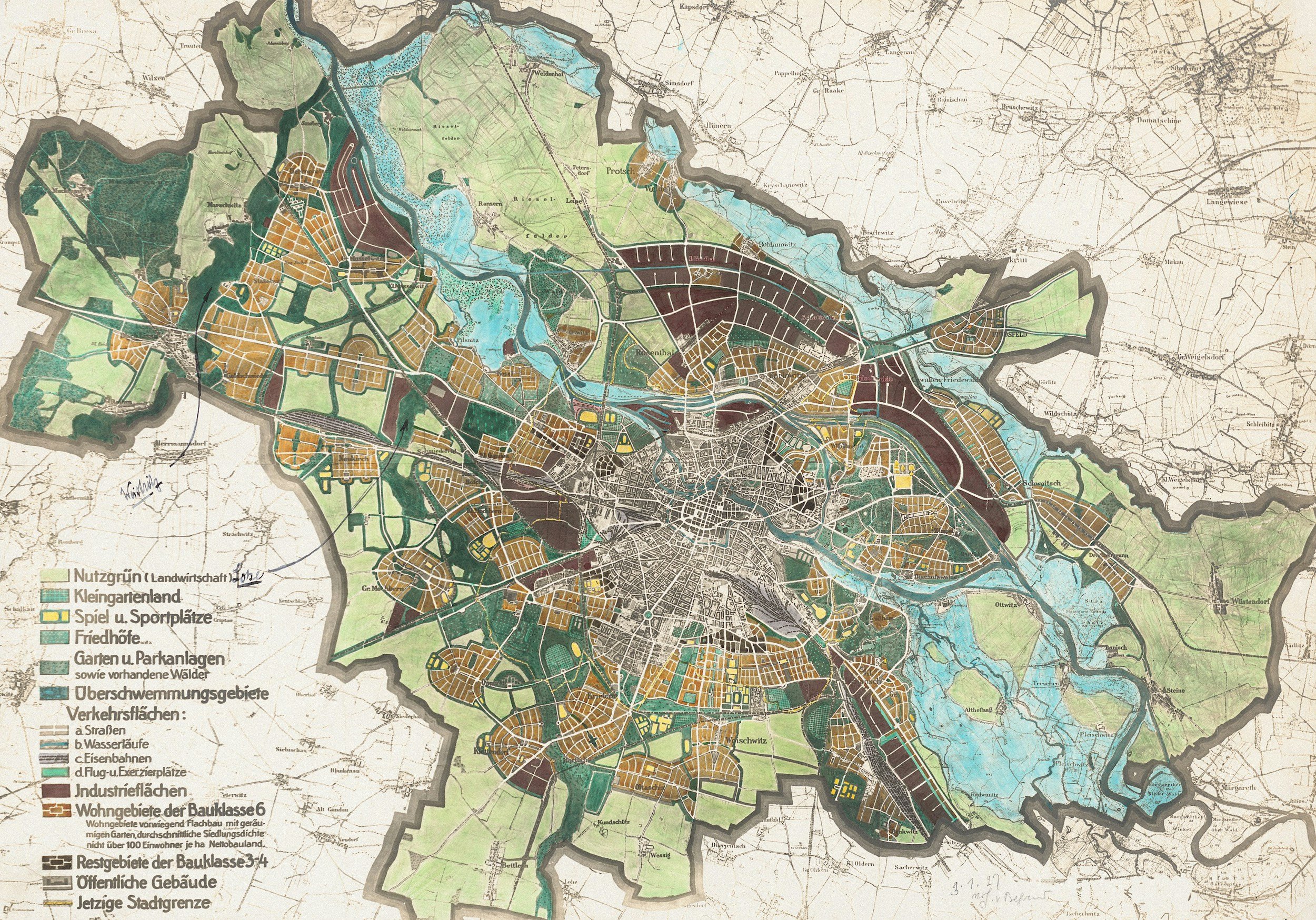
Our planning division designs at the metropolitan scale, treating catchments and wetlands as natural urban frameworks rather than marginal land. By applying landscape-led strategies, we align arterial connectivity and economic enterprise around hydrological equilibrium.
Regional watershed and river basin master planning.
Eco-city, new town, and industrial district urban design.
Waterfront, riverbank, and coastal promenade design.
Greenway, slow-traffic, and non-motorized transport (NMT) networks.
Integrated drainage, civic spines, and 45km of non-motorized transport greenways for high-density regional expansion.
Watershed Spine Zoning
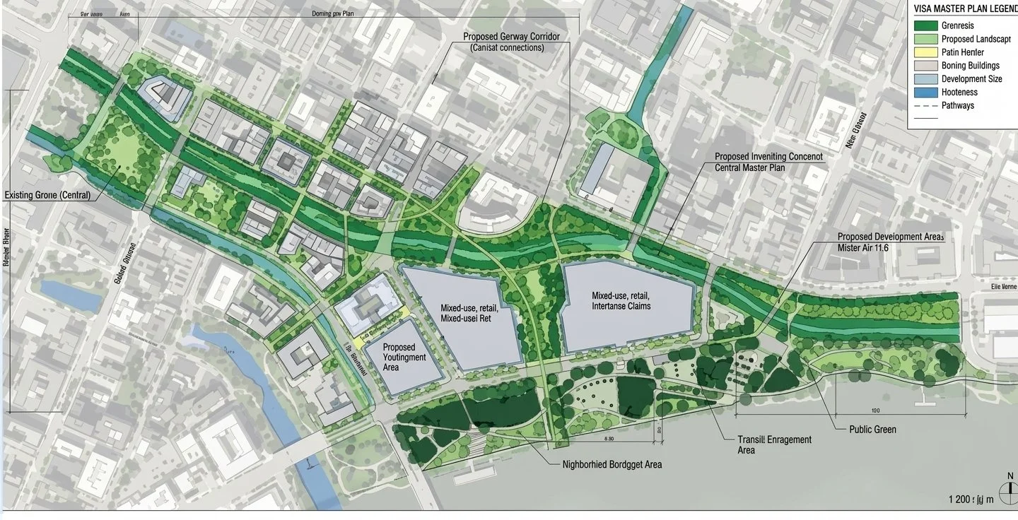
Linear Active Esplanades
CAPABILITY // 02
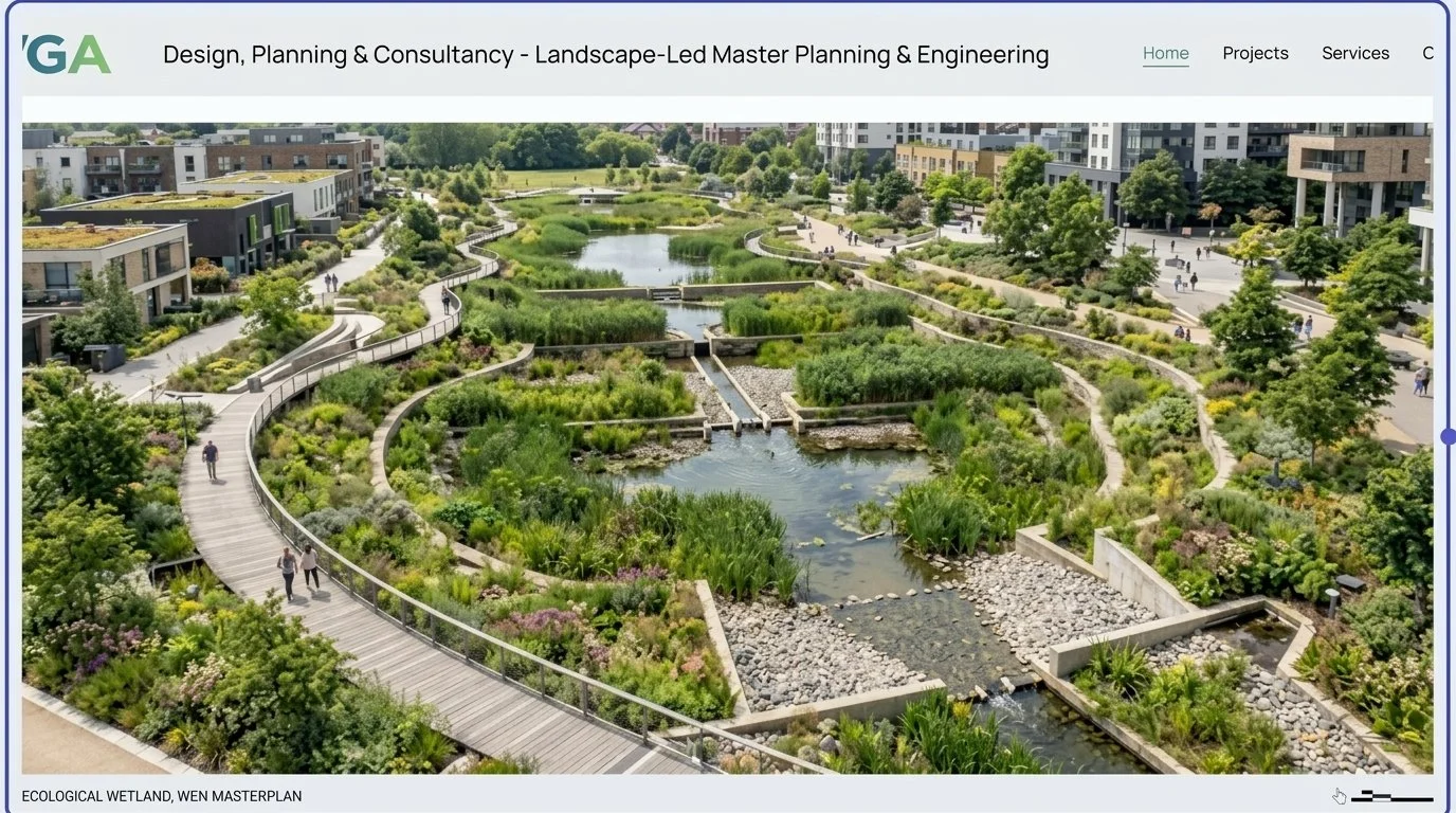
Blue-Green Infrastructure & Sponge Systems
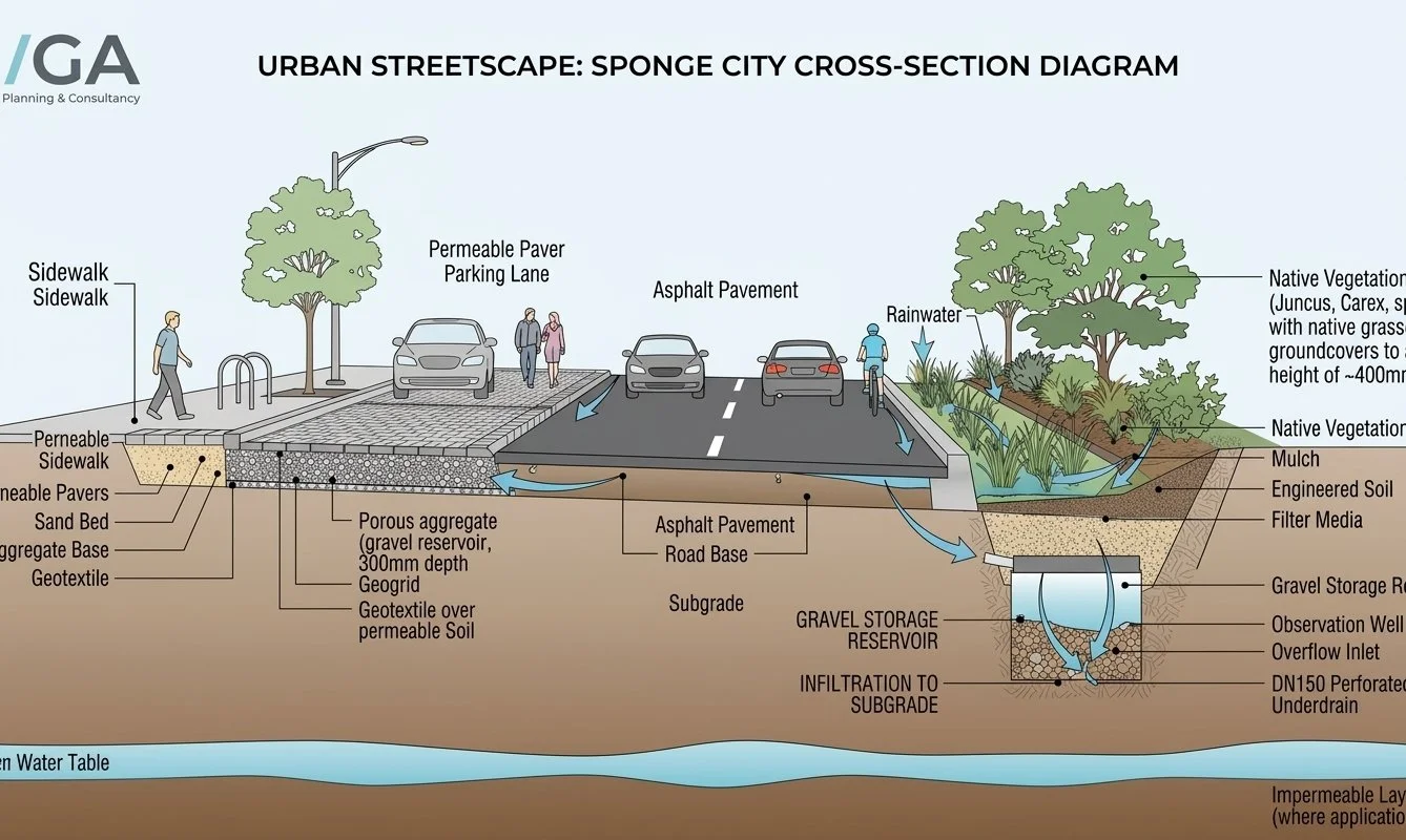
Sponge-city retrofit and Low-Impact Development (LID) strategies.
Bioretention basins, constructed wetlands, swales, and filter strips.
Urban heat island mitigation, shade networks, and urban forestry.
Rainwater harvesting, permeable surfacing, and at-source stormwater control.
We deliver nature-based sponge city transformations that capture, clean, and slow heavy storm waters. Replacing catastrophic concrete runoff channels with bio-swales, permeable cells, and urban wetlands prevents erosion and restores local aquifers.

CAPABILITY // 03
Hydraulic, Drainage & Civil Engineering
Hydrological and hydraulic modeling, catchment delineation, and flood estimation.
Open-channel flow, culverts, bridges, and river training structures.
Urban stormwater conveyance networks, pump stations, and outfall design.
Soil conservation, erosion control, and slope stabilization engineering.
Our civil and water resources engineers translate ecological concepts into Tier-1 structural plans. We calculate flood recurrence metrics, design reinforced outfalls, and balance complex cut-and-fill operations for critical public works.
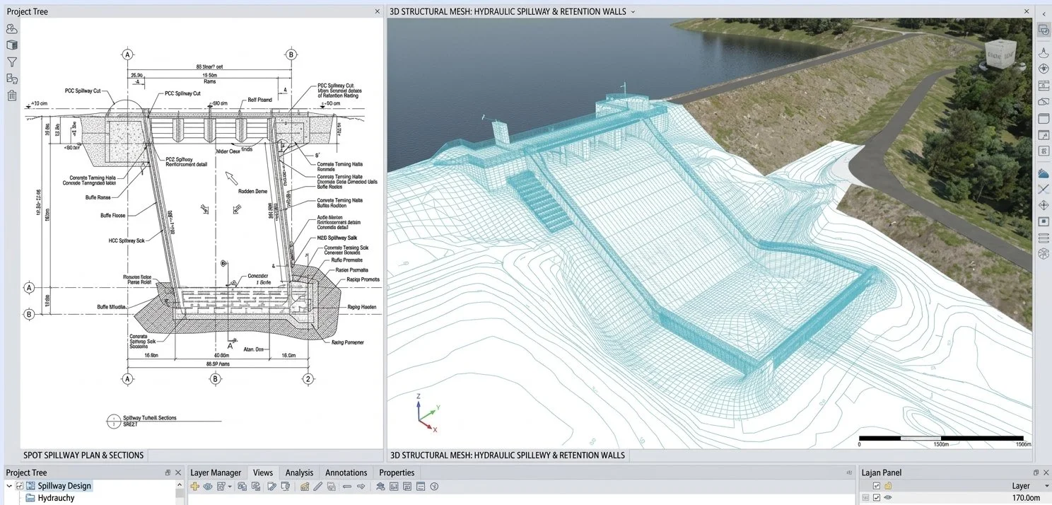
100-YEAR FLOOD RETURN MODELING


CAPABILITY // 04
Digital Engineering, GIS & BIM
Drone photogrammetry, remote sensing, and DTM terrain analysis.
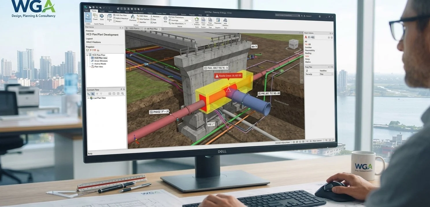
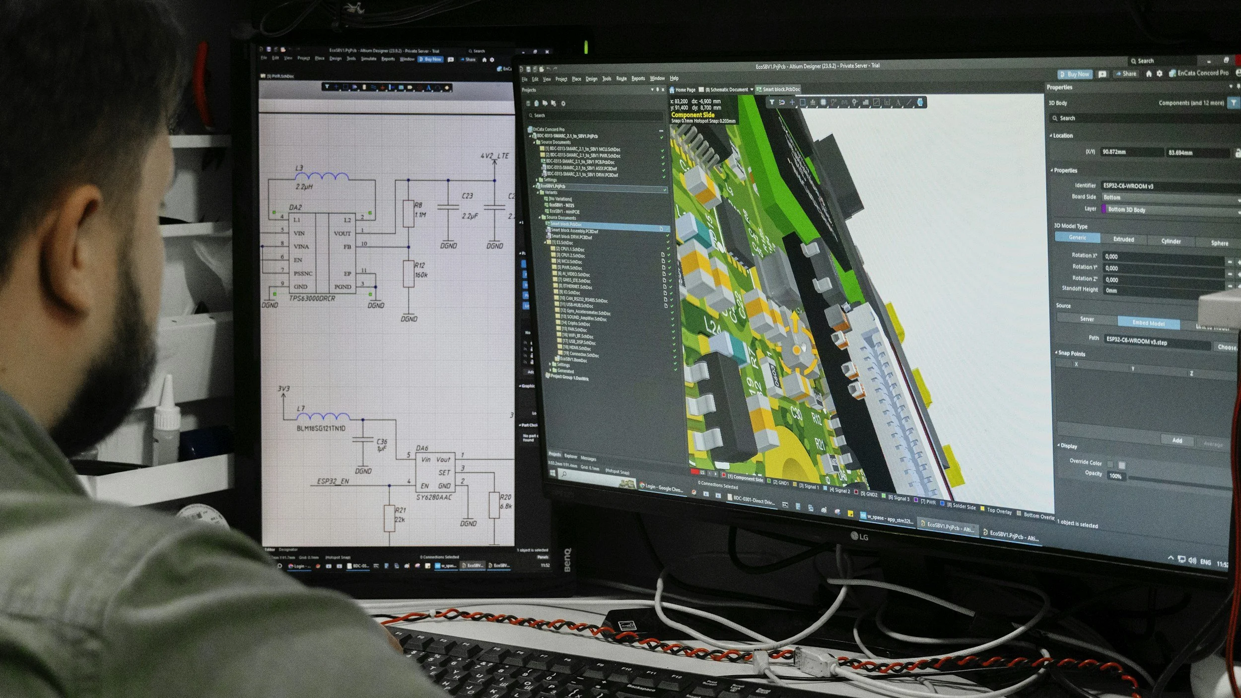
3D Building Information Modeling (BIM) and interdisciplinary clash detection.
Flood hazard mapping and dynamic inundation visualization.
Geospatial data integration for asset registers and O&M handovers.
We eliminate site variance and rework through end-to-end digital engineering. Using aerial LiDAR, high-density drone photogrammetry, and dynamic GIS layers, our PMO generates federated BIM models down to millimetric tolerances.
Bring World-Class Green Planning Rigor to Your Program
Whether you are an international development bank, national infrastructure agency, municipal authority, or master developer, Windows of Green Africa brings verified Tier-1 multidisciplinary design certainty to your landscape and civil assets.

Corporate Headquarters
Msasani-Masaki Peninsula, Dar es Salaam, Tanzania
P.O. BOX 105825, DAR ES SALAAM

Design Office Inquiries